The North Pole’s polar vortex, which starts in winter, had a stronger-than-usual start this year.
You might think this more intense weather would leave us colder and snowier than usual.
But nope – these incredibly strong winds, which circle high above the Arctic, actually help to trap freezing temps, preventing them from spilling south towards places like Canada, North America, Northern Europe, and, as an extension, the UK.
However, some forecasts suggested that the polar vortex could weaken in January. And since then, others have put the date as early as November.
This projection has been called “unheard of”, because it would be one of the earliest “disruptions” of the wind system on record.
Wait – what is the polar vortex and how can it get weaker?
It’s a stream of wind that forms far above the North and South Poles at different times of the year. The one we’re talking about here sits above the North Pole.
There are lots of factors that can weaken the polar vortex and cause it to spread south. But sudden stratospheric warmings (SSW), which the Met Office says can make the winds in the vortex reverse direction, are probably the most relevant here.
Forecasters formerly thought this could happen at the start of this month, though some experts put the likelihood of it leading to an SSW at about 25%. However, the BBC has since stated that the polar vortex has “weakened and shifted position in recent days”, with some predicting a wind reversal by mid-November.
It has already “stretched” south as predicted. This is reflected in its current “wave two activity,” which means the polar vortex is being pushed in opposite directions.
“This wave two activity is considerably stronger than average for the time of year. Forecasts suggest the vortex will subsequently become increasingly displaced from the North Pole,” states the Met Office.
Speaking to the BBC, Jeff Knight, the lead climate scientist from the Met Office, said that if this does develop into an SSW, “It would appear to be the earliest on record looking back over the 75 years we’ve been observing…with most experts agreeing this is a very unusual event”.
So, what does this mean for UK winter?
SSWs may sometimes make the jet stream “snake” more, which means that “northern Europe, including the UK, is likely to get a long spell of dry, cold weather”, per the Met Office.
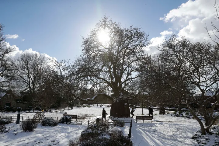
They have been linked to “extreme cold, winter snow events”, like 2018’s “Beast from the East”, in the UK. It may lead to snow and icier northerly and easterly winds.
But neither a weakened polar vortex nor an SSW necessarily mean we’ll face a frozen winter here. It just makes them more of a possibility.
And because the possible SSW may happen so early, there isn’t as much cold air in Northern Europe as there would be at the normal time such an event would happen.
“For now, therefore, this is not a forecast of an impending UK cold spell,” the Met Office writes.
Another factor here? This year’s “Godzilla” El Niño could also make our winter colder, wetter, and stormier, and “is associated with increased risk of cold snaps,” per the Met Office.
And El Niño, which is expected to peak in December, may in turn help to weaken the polar vortex in an if not vicious, then potentially very chilly, weather cycle.